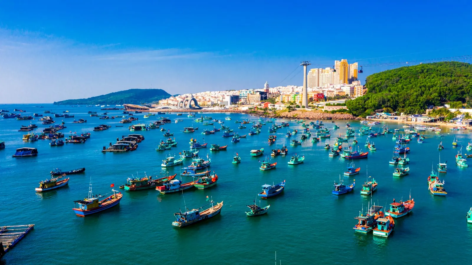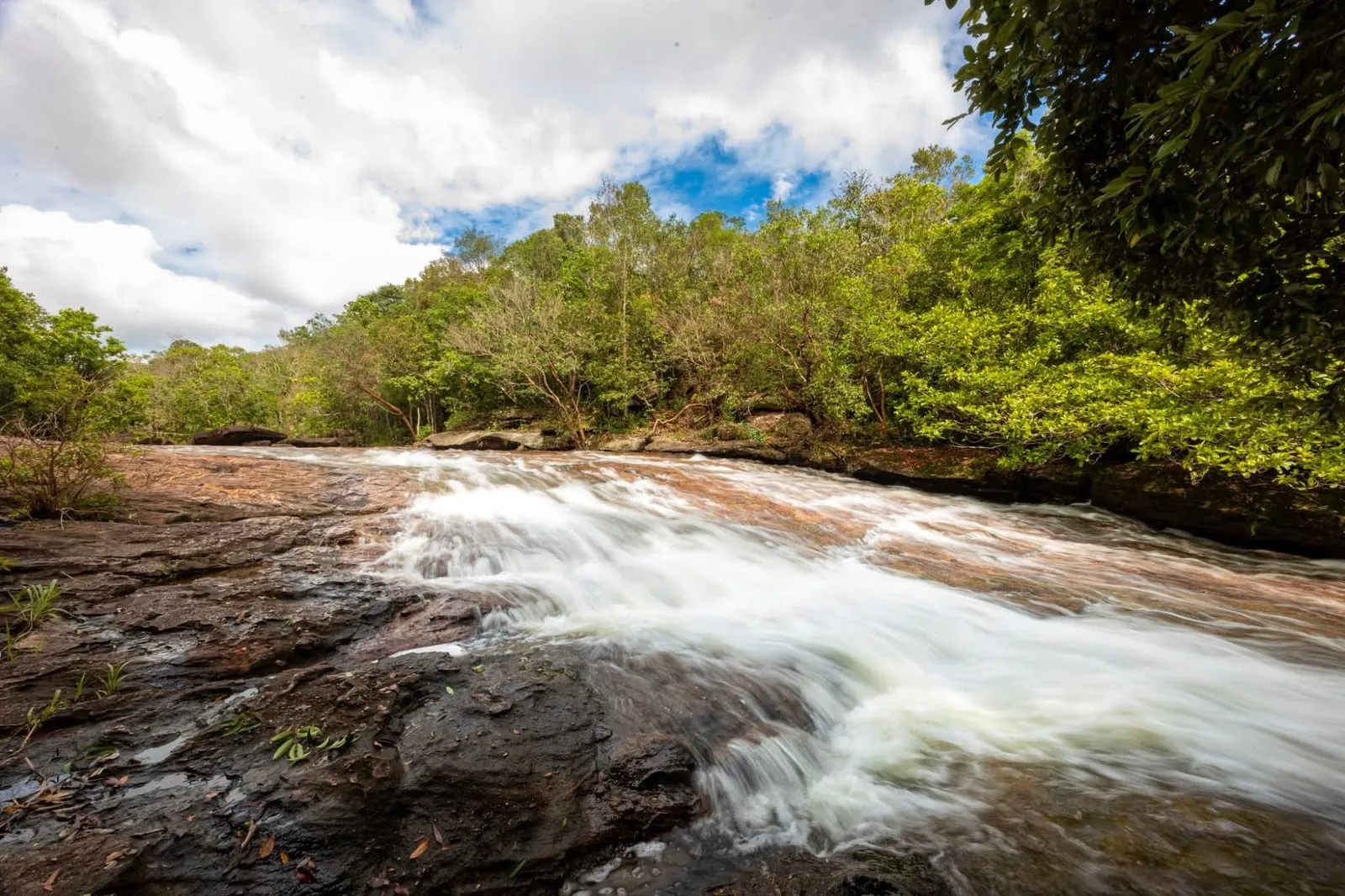
Cua Can (Cửa Cạn) is the area around the Cua Can river on Phu Quoc’s north-west coast, about 15 minutes’ drive north of Duong Dong. It was a commune of its own until July 2025, when the whole island became the Phu Quoc special zone. The river comes down from the forested hills of the national park, winds past a village of houses on stilts and reaches the sea at a sandy river mouth — and that river, rather than the beach, is what makes Cua Can different from everywhere else on the island.
It is a quiet, local area: pepper farms, a small market, fishing boats on the river, and a handful of resorts along the coast to the north at Vung Bau.
The village and the river
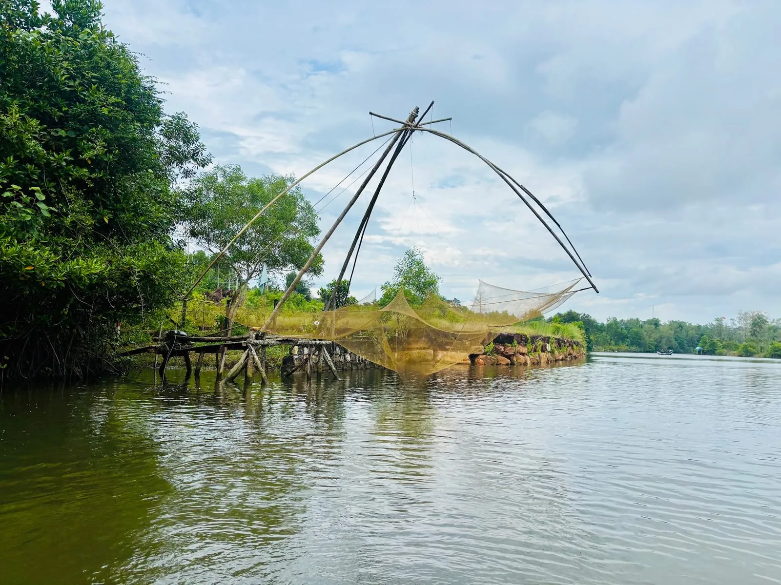
Cua Can’s fishing village lines the river near its mouth, with houses on stilts over the water and boats moored along the banks. The small centre, Le Bat, with the market and a few shops, is on the west side of the Cua Can bridge. Cua Can was long known for its rickety wooden footbridges across the backwaters; we could not confirm which are still standing in 2026, so ask locally.
- The Cua Can bridge on the main road gives the best view up the river. Reviewers warn that traffic is heavy and stopping on the bridge is not safe — park off the road first.
- On the river: kayak and boat trips run up the river from the village. One operator, Eco Tour Thai Duong (4.3 on Google Maps from 110 reviews), offers rides in round basket boats — 200,000 dong per person for 30 minutes in November 2025; some reviewers enjoyed it, others found it short and touristy.
- Fishing: you can fish with the locals from the riverbanks, or ask a fisherman to take you out; see fishing on Phu Quoc.
- Birds: coastal birds feed in the shallows along the river, best seen early in the morning.
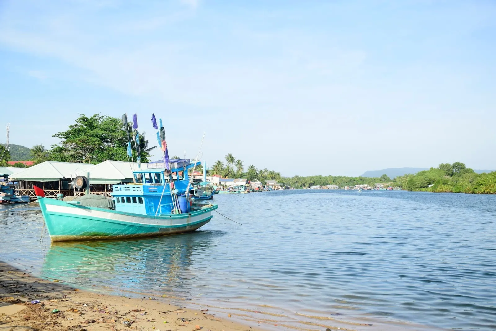 Photo: Bảo Lâm Lê (BaoLam), via Google Maps
Cua Can beach and the river mouth
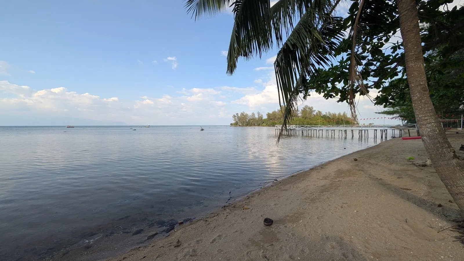
Where the river meets the sea there is a beach of yellow sand and a sandbar that shifts with the tides and the dredging. It is a wild, local beach rather than a resort one: Google Maps reviewers (3.8 from 290, October 2026) love the sunsets and the quiet, and warn about rubbish on the sand on some days and the occasional jellyfish. The main approach is lined by restaurants and homestays, but a small lane next to the fishermen’s houses leads to the sand. Milana Beach Resort (formerly Chez Carole) sits by the beach, and its signs are the easiest way to find the turning from the main road.
Where to eat
Ratings from Google Maps, October 2026:
- Eat Pray Love — 4.7 from 951 reviews. A long-running Vietnamese and Western restaurant on the Duong Dong–Cua Can road with a huge menu and reasonable prices; a favourite with long-stay visitors.
- Làng Chài Cửa Cạn — 4.9 from 46. A small family-run seafood restaurant by the sea near Le Bat.
- Seana Coffee & More — 4.9 from 75. A café on the main road.
- Halal Phu Quoc Restaurant — 4.6 from 164. Malaysian halal food.
Things to do nearby
- Pepper farms. Vườn tiêu Hai Dương (4.9 from 324) is one of several family pepper farms in Cua Can that welcome visitors; see pepper farms.
- Beaches: Vung Bau to the north and Ong Lang to the south.
- Diving and snorkelling: VietDivers (5.0 from 93) is based on the Duong Dong–Cua Can road; see scuba diving.
Where to stay
The resorts are on the coast north of the river, towards Vung Bau. Ratings from Google Maps, October 2026:
- Green Bay Phu Quoc Resort & Spa — 4.8 from 1,014. A spa resort with pool villas among the trees and its own beach.
- Bamboo Cottages & Restaurant — 4.6 from 356. A solar-powered beachfront eco-lodge with fans rather than air conditioning; the last stretch of road is rough, and the owners can send a driver.
- Milana Beach Resort & Spa (formerly Chez Carole) — 4.1 from 813.
- Wild Beach Phu Quoc Resort — 4.2 from 164.
These are quiet places for a few days by the sea; you will need a scooter or Grab to get anywhere else. For the rest of the island, see where to stay.
Getting there
From Duong Dong, cross the river and take the Duong Dong–Cua Can road north; the Cua Can bridge is about 13 km (15 minutes) from the town centre (OSRM routing estimates). The road continues north to Bai Dai and Ganh Dau.
For the island’s other fishing villages, see fishing villages.
Ratings, review counts, prices and visitor comments: Google Maps, October 2026.
Map
Loads Google Maps when you tap. Or open in Google Maps.