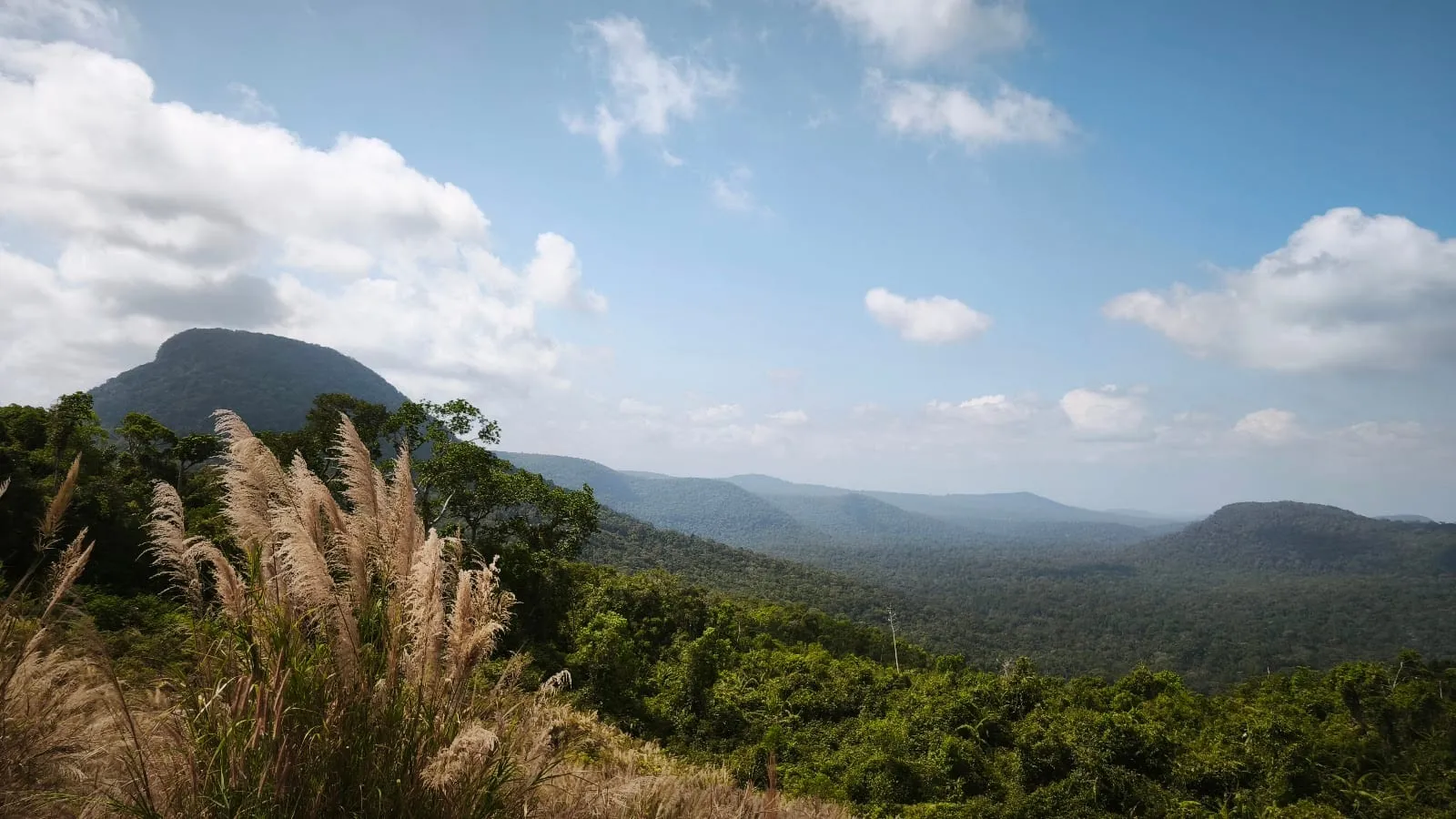
Phu Quoc National Park (Vườn quốc gia Phú Quốc) is the reason the northern half of the island is still green. It covers the hills that run down Phu Quoc’s spine and most of the north, from the forest behind Ganh Dau and Bai Thom to the slopes above Ham Ninh. The highest point, Nui Chua, is usually given as 603 m.
What most visitors do not realise is that the park is not set up like a national park in Europe, the US or Australia. There is no main gate with a ticket office, no published network of marked trails, and you cannot simply walk in. This guide explains what is there and how to see it.
The park in numbers
- Established: a nature reserve from 1986, upgraded to a national park in 2001 with 31,422 ha.
- Area today: the park manages 36,262 ha, including protection forest added since — around 60% of the island’s land (park figure, August 2025).
- Species: about 1,397 species of plants, and about 480 species of animals, including 25 mammals, 132 birds, 43 reptiles and 16 amphibians (park figures).
- UNESCO: the park is part of a core zone of the Kien Giang Biosphere Reserve, designated by UNESCO in 2006, which also covers U Minh Thuong National Park and coastal forests on the mainland.
Since 1 July 2025 Phu Quoc has been a special zone (đặc khu) of An Giang province, so the park now comes under An Giang rather than Kien Giang.
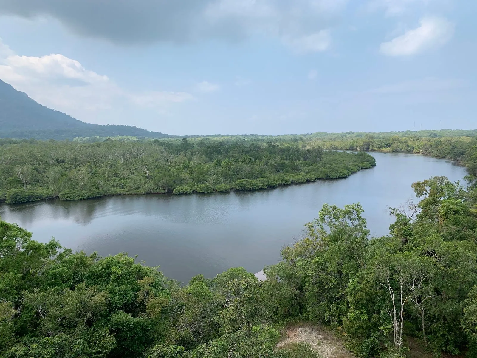 Photo: Elena IVANOVNA, via Google Maps
Forest and wildlife
Most of the park is lowland and hill evergreen forest, with dipterocarp forest on the slopes, melaleuca woodland on the wetter ground and mangroves along the river mouths. In March 2025 six trees in the park were recognised as Vietnam Heritage Trees, among them two kơ nia (Irvingia malayana) estimated at about 800 years old.
Among the animals the park lists are the great hornbill, the Bengal and pygmy slow lorises, the Indochinese silvered langur, the small-clawed otter, long-tailed macaques and the king cobra. You are unlikely to see much of this on a short walk — the forest is dense and the animals are shy — but hornbills are sometimes seen early in the morning along the forest edge. For birds, see bird watching.
In October 2026 the park held a consultation on nominating itself as an ASEAN Heritage Park.
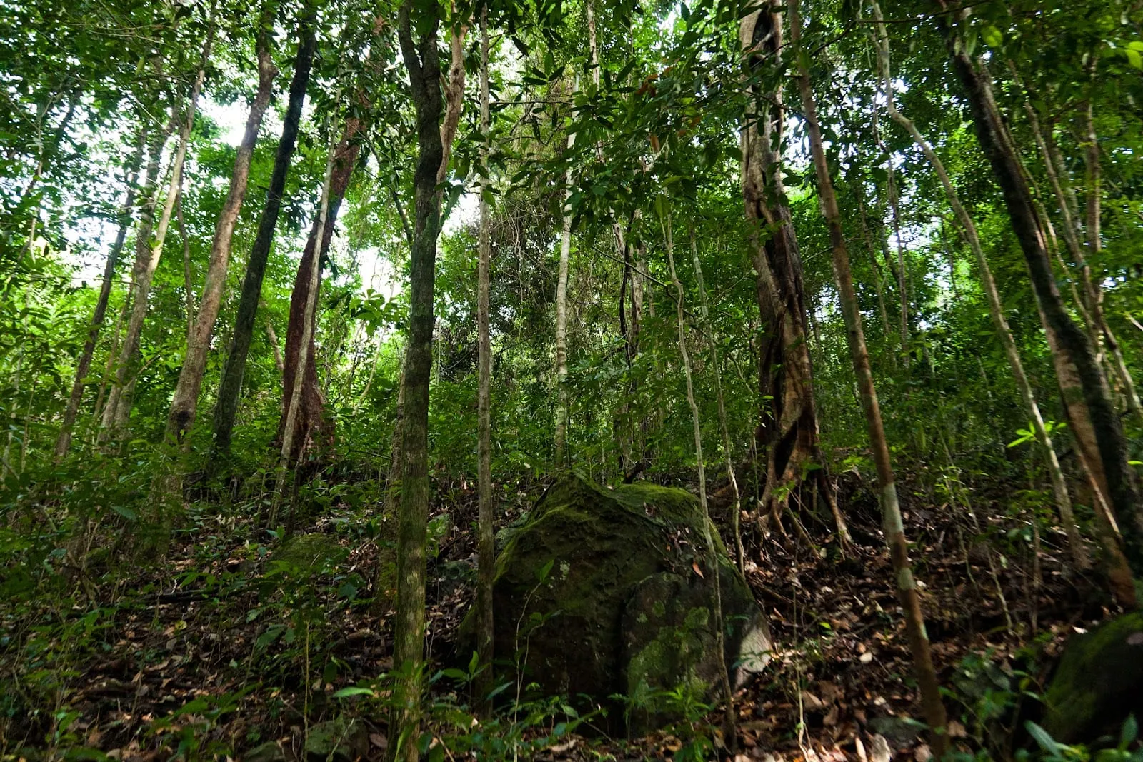 Photo: user bucenko, via Google Maps
How to visit
This is where the park differs from what many people expect. Visitors’ Google Maps reviews from 2021 to 2026 describe closed gates, guards and military checkpoints on roads into the forest, and say that you cannot go in on your own without a guide. Parts of the forest are used by the army and the rangers, partly to protect it from poaching and fire. The park’s own website does not publish trails, opening hours or fees (checked October 2026).
In practice, there are three ways to see the forest:
- A guided trek. Several tour companies run guided hikes in the park, usually half a day; one reviewer in May 2026 described a 6 km route with a steep, unmanicured trail. See our hiking guide and the Ham Ninh mountain trek.
- The streams and trails on its edges. Suoi Da Ban and Suoi Tranh are on the forest edge and open to visitors, and the Ganh Dau trail runs through the north-west.
- The roads. The roads across the north of the island to Rach Vem, Ganh Dau and Bai Thom pass through or along the forest, and are the easiest way to get a sense of how big it is.
If you want to arrange something directly, contact the park’s office in Duong Dong (01 Nguyen Chi Thanh; phone 0297 868 2555) before you go.
Practical tips
- Go early. It is cooler, and the birds are more active.
- Bring water and insect repellent, and wear long trousers and proper shoes: the trails are rough and there are snakes.
- The dry season, November to April, is the most comfortable time to hike; trails are muddy and slippery in the rainy months.
- Do not light fires or leave rubbish. In the dry season thousands of hectares of the park are rated at high fire risk.
Park facts and figures: Phu Quoc National Park and UNESCO (see sources). Visitor experiences: Google Maps reviews, 2021–2026.
Map
Loads Google Maps when you tap. Or open in Google Maps.