
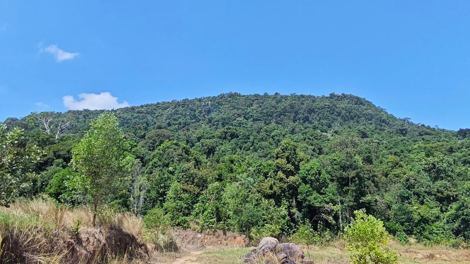
Tien Son Dinh (Tiên Sơn Đỉnh) is a viewpoint on Ham Ninh mountain, the forested ridge that rises behind the fishing village of Ham Ninh on Phu Quoc’s east coast, and the trail up to it has become the island’s most popular short hike. It is only about 1.8 km each way, but it climbs about 250 m almost all the way, through real jungle, with ladders, ropes and rock scrambles on the steeper parts. At the top, a rocky lookout looks out over the middle of the island, the coast and the airport, with planes landing below you. It scores 4.8 on Google Maps from 429 reviews (October 2026).
The trail
- Start: the trail begins behind a small roadside café-shop of the same name, Tiên Sơn Đỉnh, west of Ham Ninh village. The family there charges for parking — reviewers paid 10,000 dong for a motorbike and 20,000 dong for a car — and sells cold drinks. You cross their land, and they have marked the way.
- The climb: steep and steady, on dirt, roots and stepping stones, with iron ladders, ropes and small wooden bridges that local people have put in on the hardest sections. Most of it is shaded by the forest.
- Time: 30 minutes up if you are fit and keep going, 45 minutes at a normal pace; allow an hour and a half to two hours there and back. Several hikers found the descent harder than the climb.
- The top: a rock lookout and a painted stone marking Tien Son Dinh, with incense left by visitors. Near the summit a side path leads to a small cave, known locally as the bat cave.
- Navigation: the route is well marked, but note which way you came up before you start down.
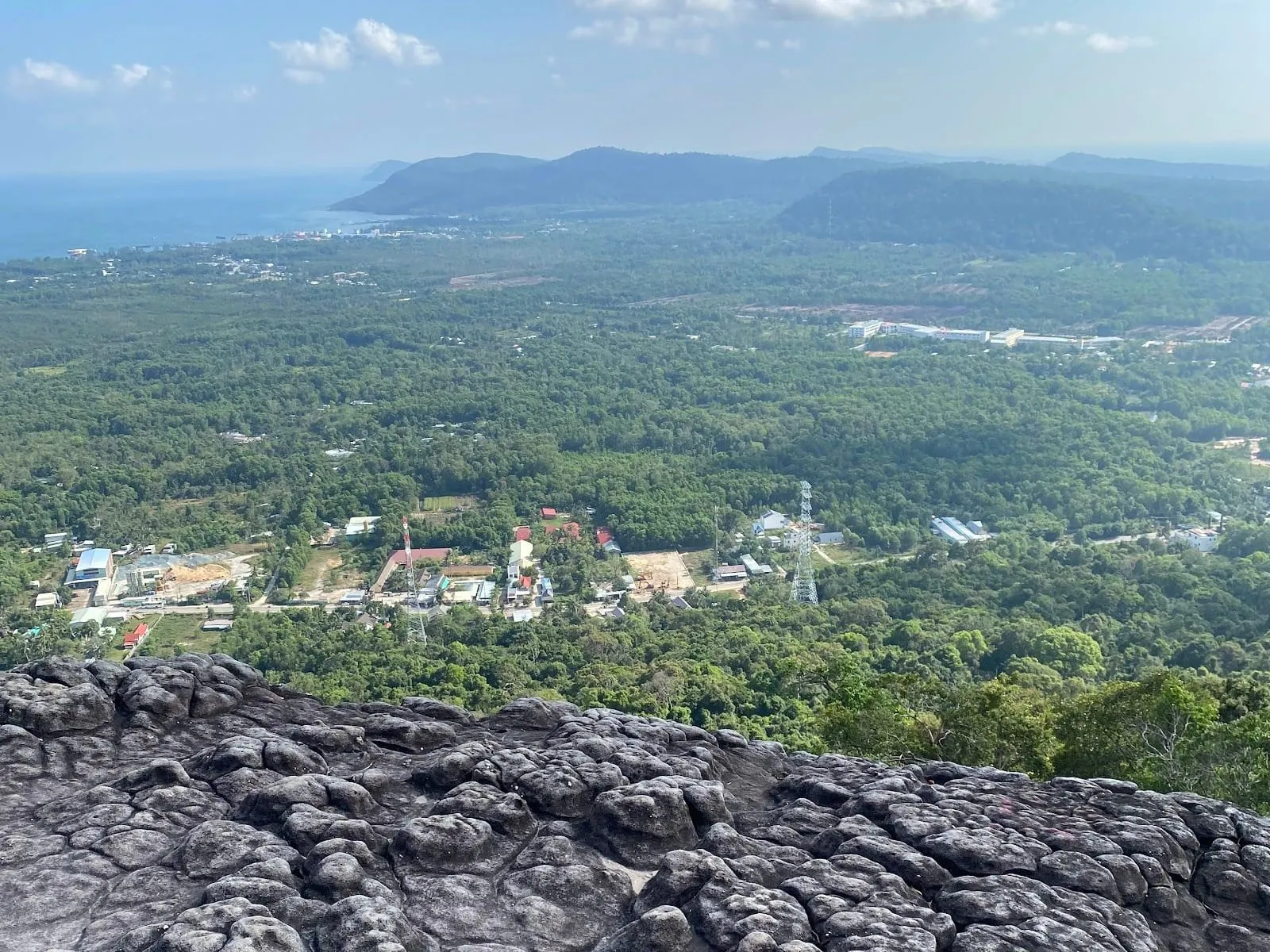 The view from the top. Photo: Катерина Казакова, via Google Maps
Is it for you?
It is short, but it is a proper climb, not a stroll: reviewers describe it as “short, but not easy” and “strenuous”, and one called it the best workout of their trip. Reasonably fit adults and older children manage it fine; some hikers have reached the top in flip-flops, but good shoes with grip make it much safer. If you are unsure about heights or steep ladders, this is not the hike for you — try the flatter Ganh Dau trail instead.
The view itself divides opinion. On a clear day it is wide and green; on hazy days you see less, and one reviewer was struck less by the forest than by the construction sites below. There is also litter at the lookout, so please bring yours back down.
Tips
- Go early, before the heat — the climb is hard work in the middle of the day.
- Bring water, insect repellent (the mosquitoes are keen) and something to eat at the top.
- Avoid it after heavy rain: the rocks, ladders and roots are slippery, and coming down is the risky part.
- Combine it with a crab lunch in Ham Ninh or a dip at Suoi Tien, a short drive north.
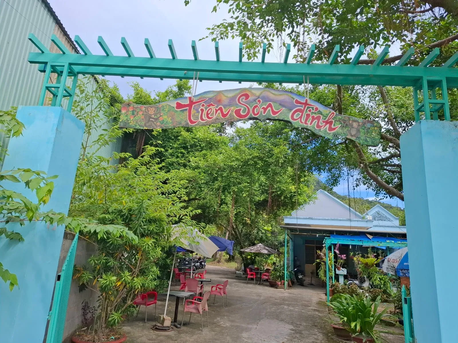 The trailhead café. Photo: 여행욜로(crazylifego), via Google Maps
Getting there
The trailhead is about 11 km (around 11 minutes) by road from Duong Dong and close to the airport (OSRM routing estimate). Search for “Tiên Sơn Đỉnh” on Google Maps and park at the café.
For longer, guided hikes in the national park, see hiking on Phu Quoc and Phu Quoc National Park.
Distance, times, fees and visitor comments: Google Maps reviews, 2024–2026. Drive time: OSRM routing estimate.
Map
Loads Google Maps when you tap. Or open in Google Maps.