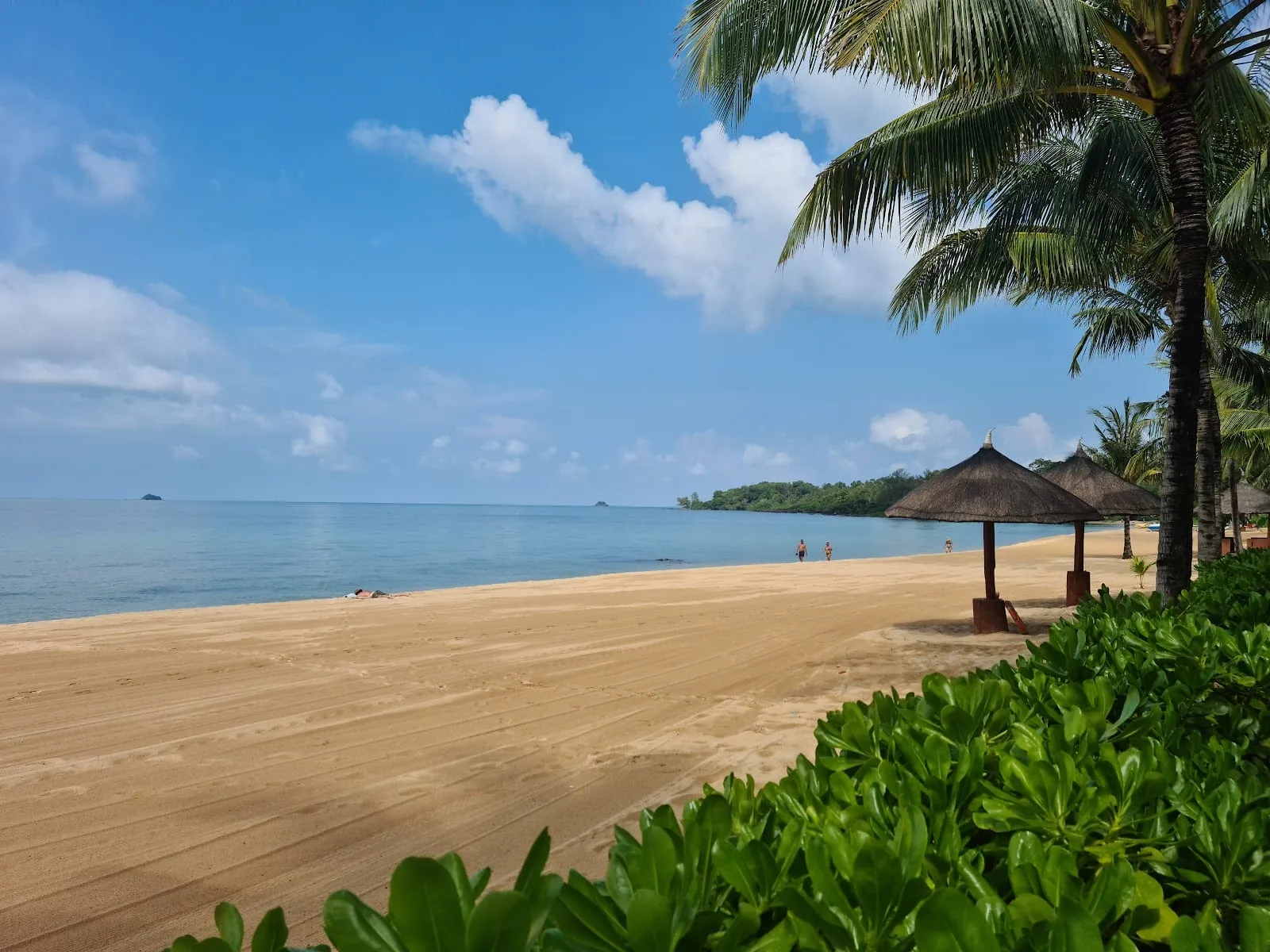
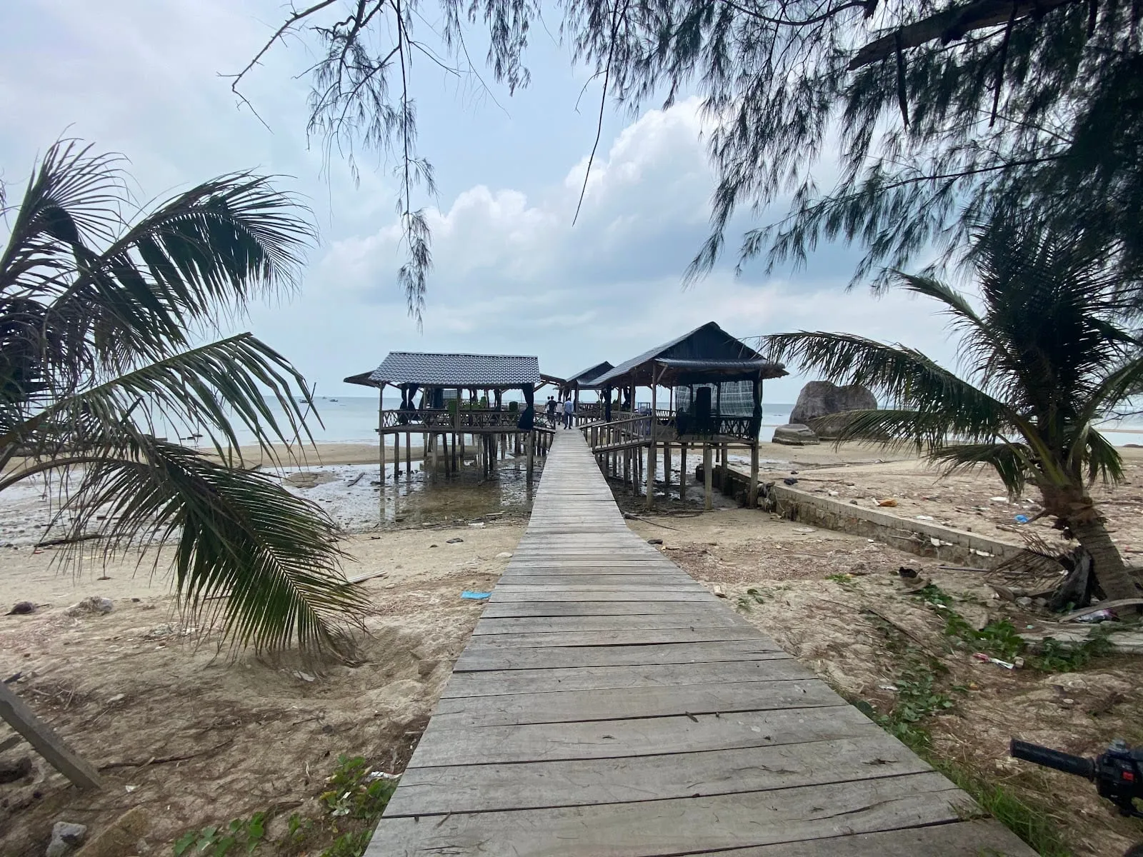
Cay Sao (Bãi Cây Sao) is the stretch of coast north of Ham Ninh on Phu Quoc’s east side, along the road that runs up towards Bai Thom. It is a place for slowing down rather than a classic swimming beach: a narrow strip of sand and palms, shallow water over seagrass, fishermen at work, a few seafood restaurants on stilts over the sea, and a scattering of small, mostly family-run resorts. It faces east, so this is where you come for the sunrise.
What to expect
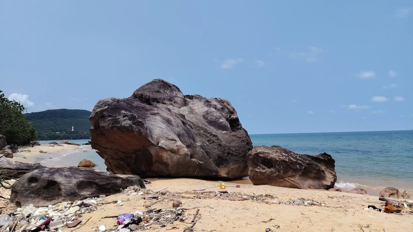
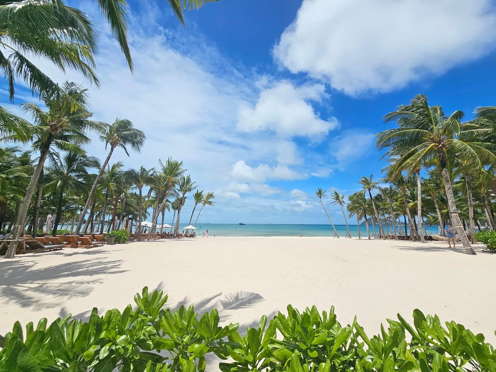
- The sea: shallow and tidal, with seagrass close to shore — fine for a dip at high tide, less so at low tide. Several 2025–2026 reviews of the resorts and restaurants mention rubbish on the shore and in the water in places, so do not come expecting the white sand of Khem Beach or Sao Beach.
- Seasons: the east coast is sheltered from the south-west monsoon and is usually calm from about May to October, when the west coast is rough. In the windier months around the turn of the year the north-east wind can make it choppy; one guest describes a storm in January 2025.
- Sunrise: the reason to stay. Several guests single out the sunrise from their balcony or from an over-water cabin.
Getting there
Cay Sao is about 20 minutes (20 km) by road from Duong Dong and 20 minutes (15 km) from the airport (OSRM routing estimates), a few kilometres north of Ham Ninh fishing village. Guests say Grab cars are easy to get here, but the restaurants on the shore are down small tracks that are not always signposted — follow the signs from the main road.
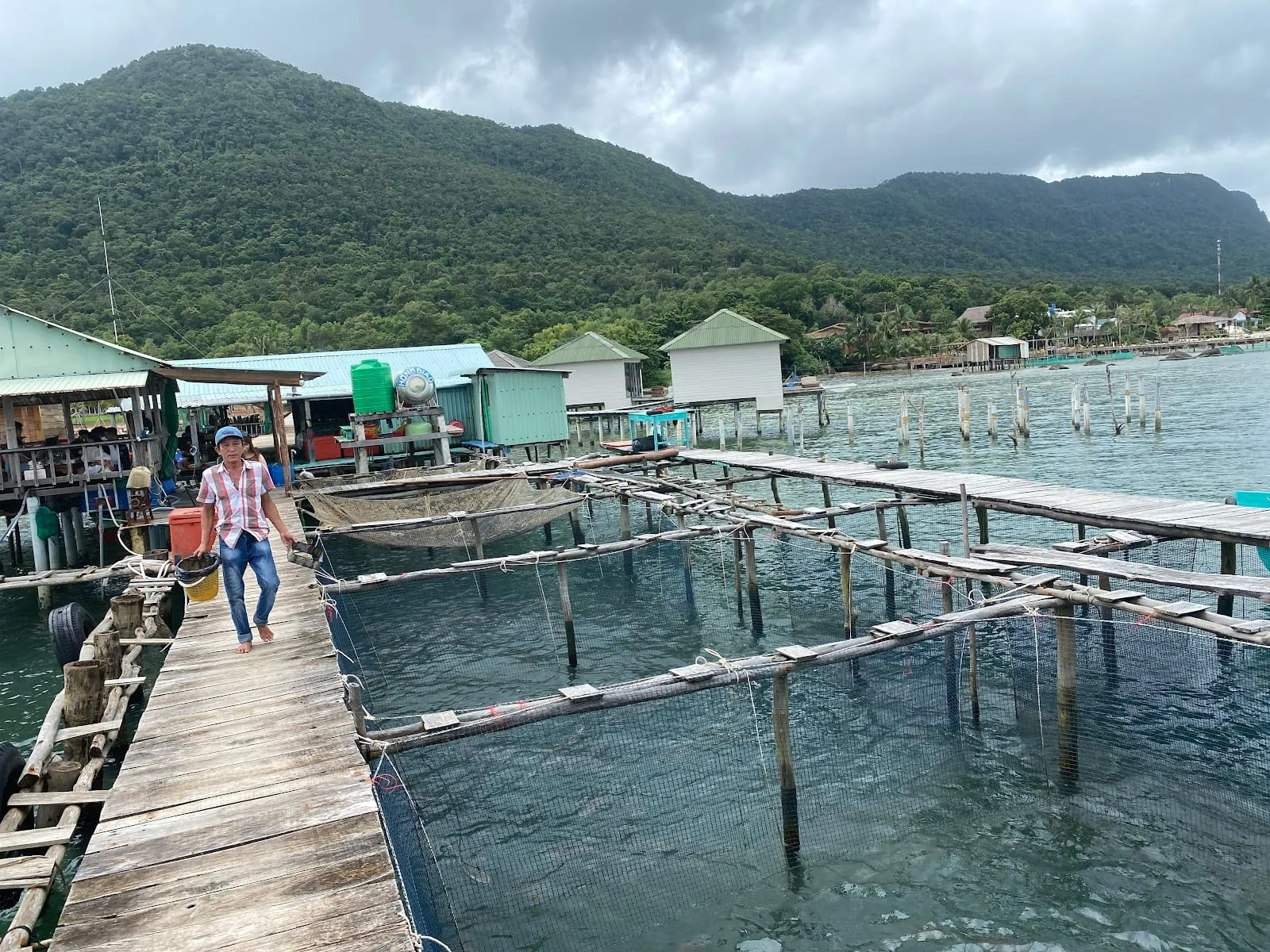 Nhà Bè Cây Sao. Photo: Anh Đông, via Google Maps
Where to eat
The local thing to do is eat seafood on a nhà bè, a restaurant on stilts over the sea, where your crab, shrimp or fish comes out of the water in front of you. Ratings from Google Maps, October 2026:
- Nhà bè Cát Biển (Đá Bạc) — 4.8 from 92 reviews, open 9:00–19:00. A family-run restaurant reached across a long wooden walkway; reviewers praise the mantis shrimp, oysters and the owner’s help choosing from the seasonal menu.
- Nhà Bè Cây Sao — 4.0 from 90, open 8:00–20:00. A traditional stilt restaurant with live crabs and starfish in the water around it. Reviews are split on value — one couple paid 460,000 dong for two plates of fried noodles and two beers in 2025 — so check the menu price before you order.
- Biển Cây Sao — 4.6 from 34. A small local restaurant over the water further north, hard to find but with fair prices and fresh fried fish and sea urchin.
For more stilt restaurants, see floating restaurants. Rory’s Beach Bar, for years the best-known bar on this coast, is now marked permanently closed on Google Maps.
Where to stay
Most places here are small and run by their owners. Ratings from Google Maps, October 2026:
- Kiki Coconut Beach Resort — 4.8 from 423. Bungalows, hammocks and a beach bar under the palms; reviewers praise the owner’s welcome.
- Cosian Bay Resort — 4.7 from 389. A quiet, well-kept resort with sunrise views; popular with honeymooners.
- Butterfly Rose Beach Resort — 4.8 from 127. A small francophone guesthouse by the sea, praised for its host.
- The Pier Phu Quoc Resort (4.6 from 132) and Freedom Beach Resort (4.6 from 119) — both have cabins over the water; Freedom’s reviews range from glowing to complaints about maintenance.
- Naomi Resort (4.5 from 246), Lotus Home (4.5 from 214) and Mango Beach Resort (4.3 from 226) — mid-range bungalow resorts.
For other parts of the island, see where to stay.
Nearby
Ham Ninh fishing village and its crab restaurants are just to the south, the Ham Ninh mountain trek starts inland, and the road north continues to Bai Thom.
For the island’s main swimming beaches, see the best beaches on Phu Quoc, compared.
Ratings, review counts, opening hours and visitor comments: Google Maps, October 2026. Drive times: OSRM routing estimates.
Map
Loads Google Maps when you tap. Or open in Google Maps.