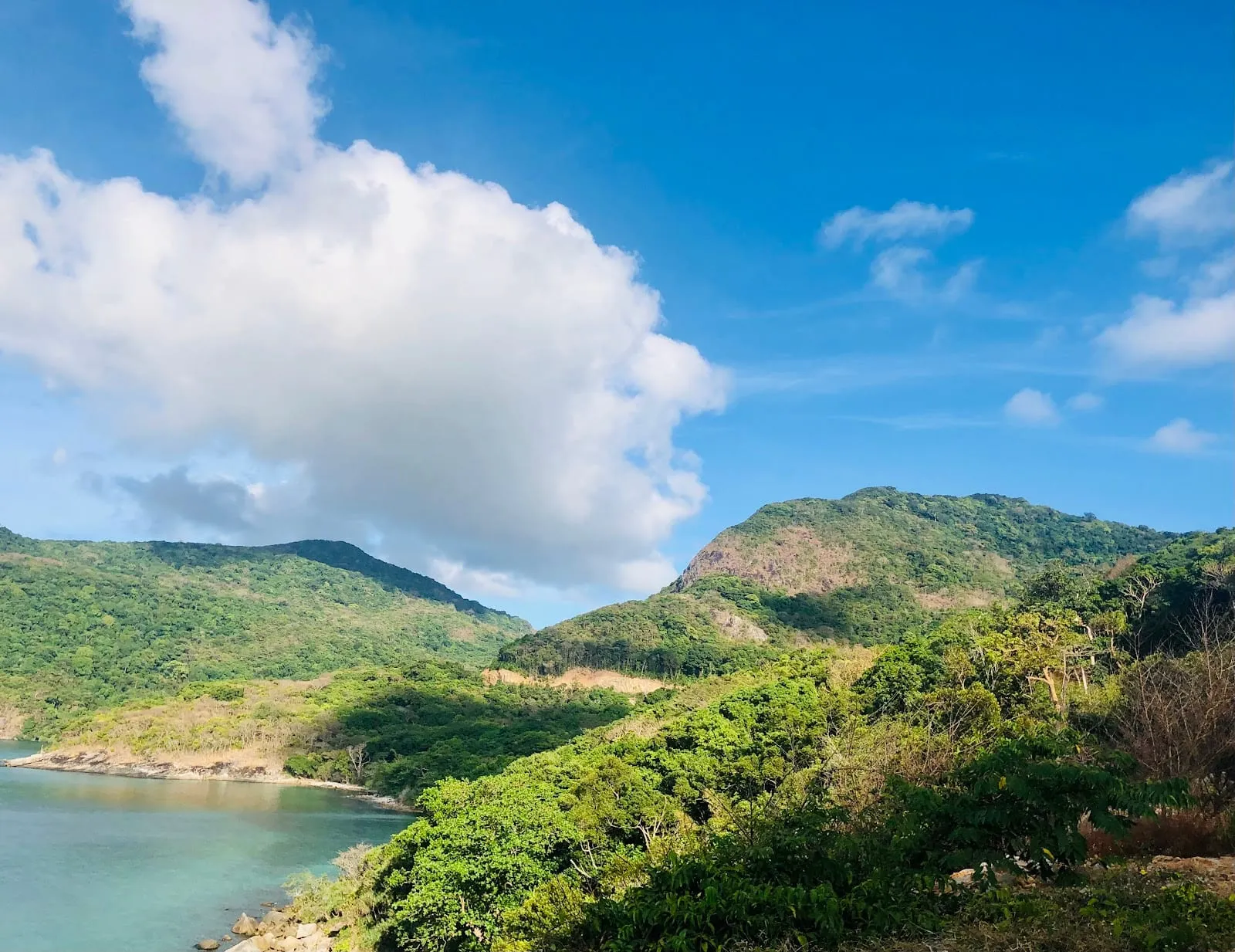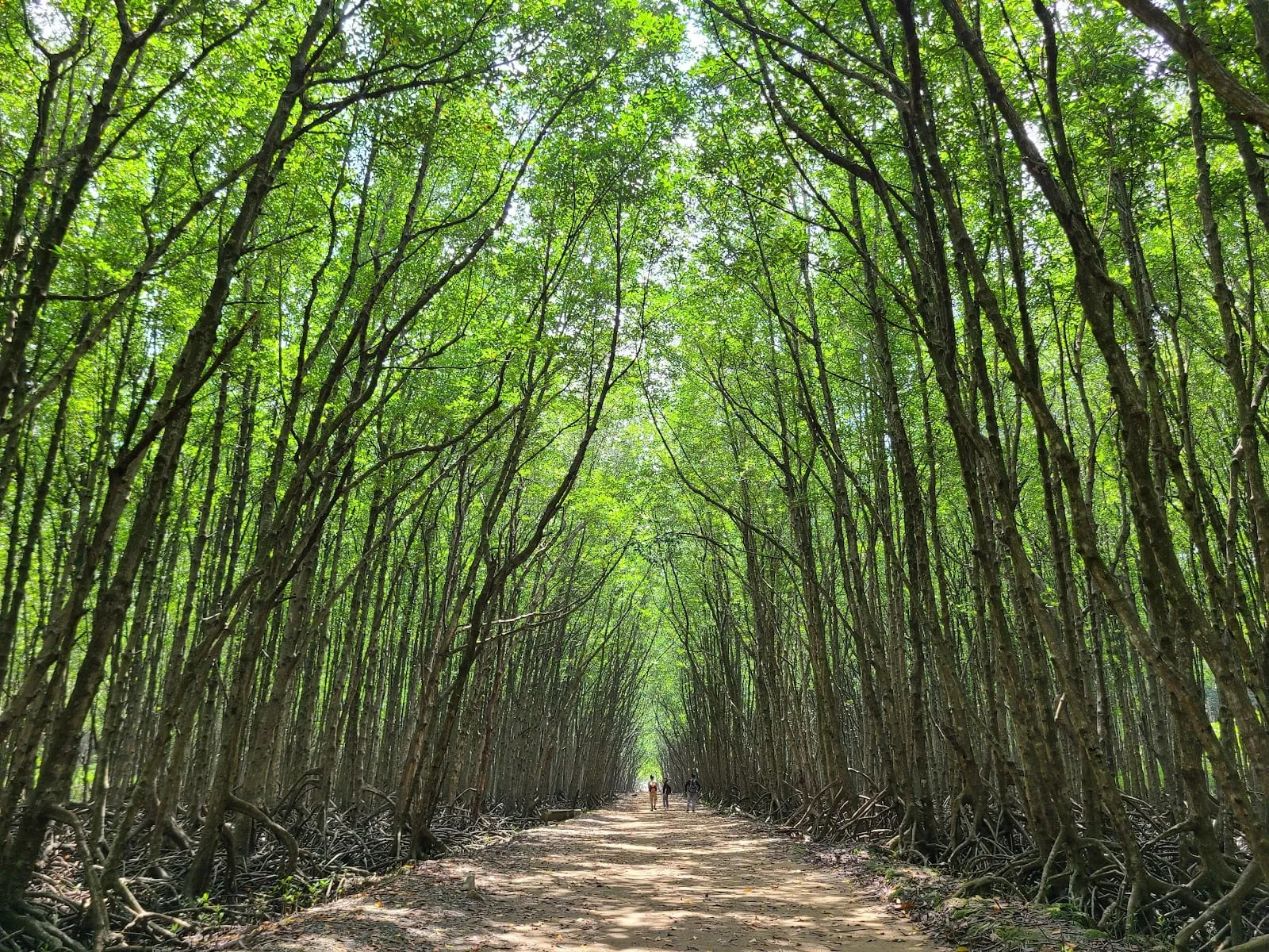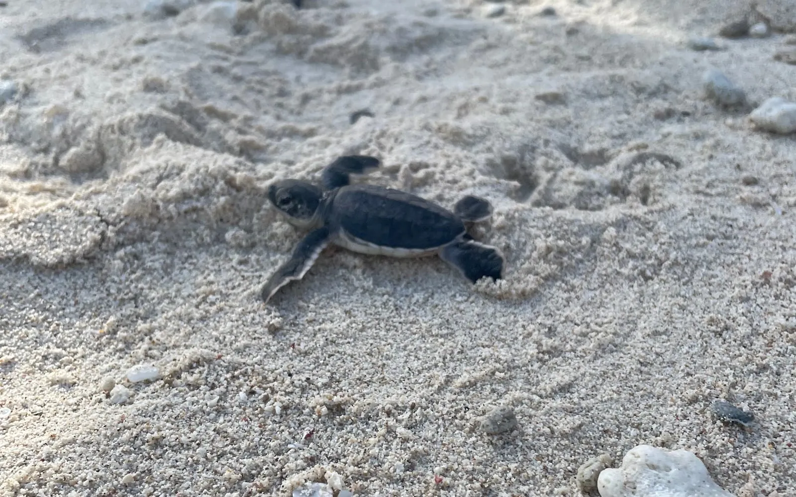
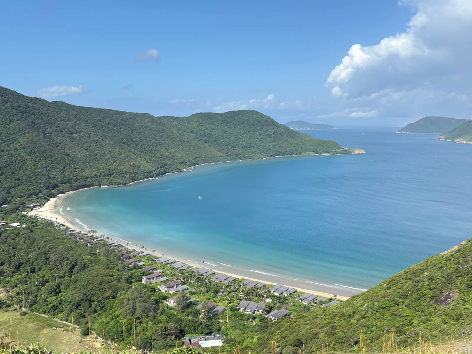
Con Dao is one of the best places in southern Vietnam to walk. Most of Con Son, the main island, is national park: steep hills covered in forest, with paved trails down to small, empty beaches. You can do the main trails on your own with a park ticket, or book a guided trek with the park for the longer and more remote routes. Keep an eye out for the endemic Con Dao black squirrel, long-tailed macaques, pied imperial pigeons and, if you are lucky, the Nicobar pigeon.
Before you go
- Buy a park ticket. Entry to the national park trails costs 50,000 dong per person (reported by visitors in 2026) at the ticket booths at the trailheads, and tickets are checked.
- Go early. Con Dao is hot and humid, and the steep sections are hard work in the midday heat. Take more water than you think you need.
- Wear proper shoes. The paved paths are slippery when wet or covered in leaves.
- Watch your things. Macaques hang around the trailheads; lock your motorbike seat and do not leave food in the basket.
- Insect repellent for the forest.
Self-guided trails
Ong Dung Beach
The easiest and most popular walk: a paved path through the forest down to Ong Dung Beach (Bai Ong Dung), about 20–30 minutes each way. The beach is rocky rather than sandy, but the water is clear, there is a reef offshore (see our Con Dao snorkelling guide), and it is a good spot for the sunset. On the way you may see termite mounds, old strangler figs, wild orchids and squirrels.
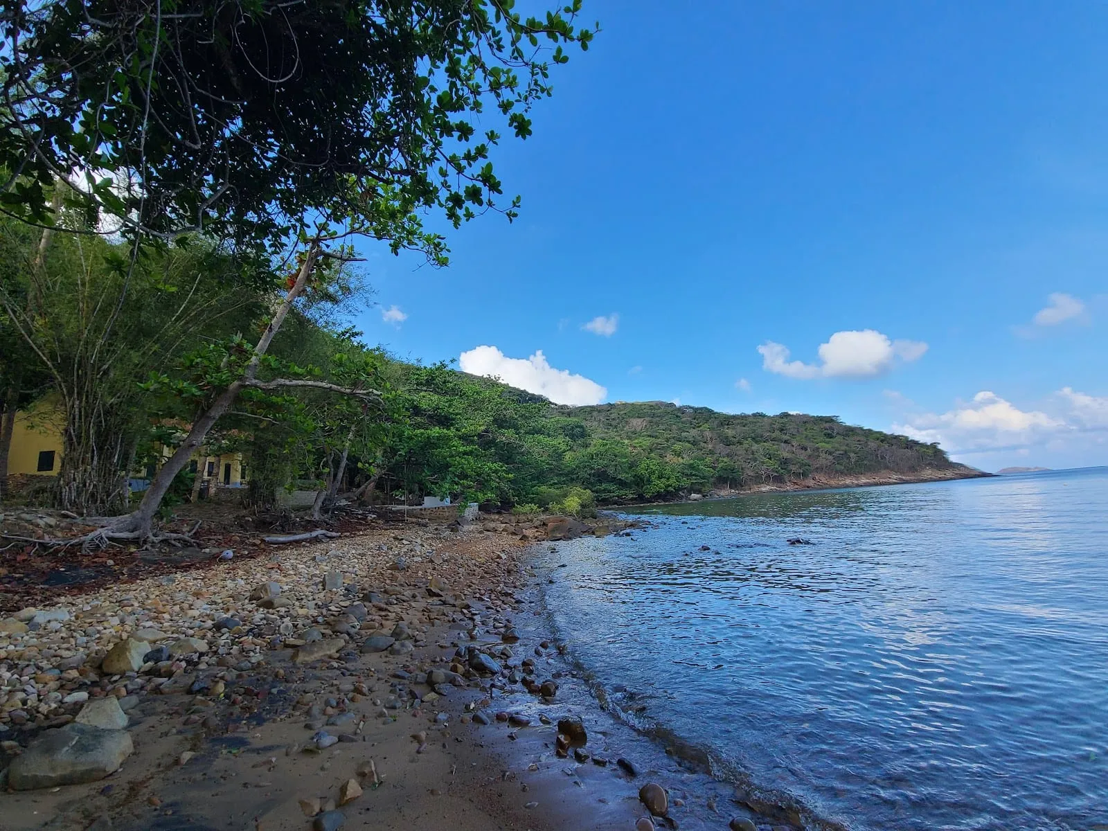 Photo: le minh hoang, via Google Maps
The Holy Cave, Bang Stream and Dat Tham Beach
From the park’s main ticket booth near its visitor centre, a network of signposted paved paths leads into the forest. At the main junction the signs point to:
- Hang Duc Me (the Holy Cave, or Maria’s Cave) — 50 metres off the path: a small cave with a shrine to the Virgin Mary.
- Suoi Bai Bang (Bang Stream) — 1.7 km, a stream and small waterfall, and beyond it Bai Bang beach.
- Bai Dat Tham (Dat Tham Beach) — 2.2 km, a remote rocky beach.
Walking out to both beaches and back is a round trip of about 6–7 km with some steep climbs; allow half a day. The beaches are rocky and not great for swimming, but you will have them to yourself. One visitor in 2026 found too few signs further along, so download an offline map before you go.
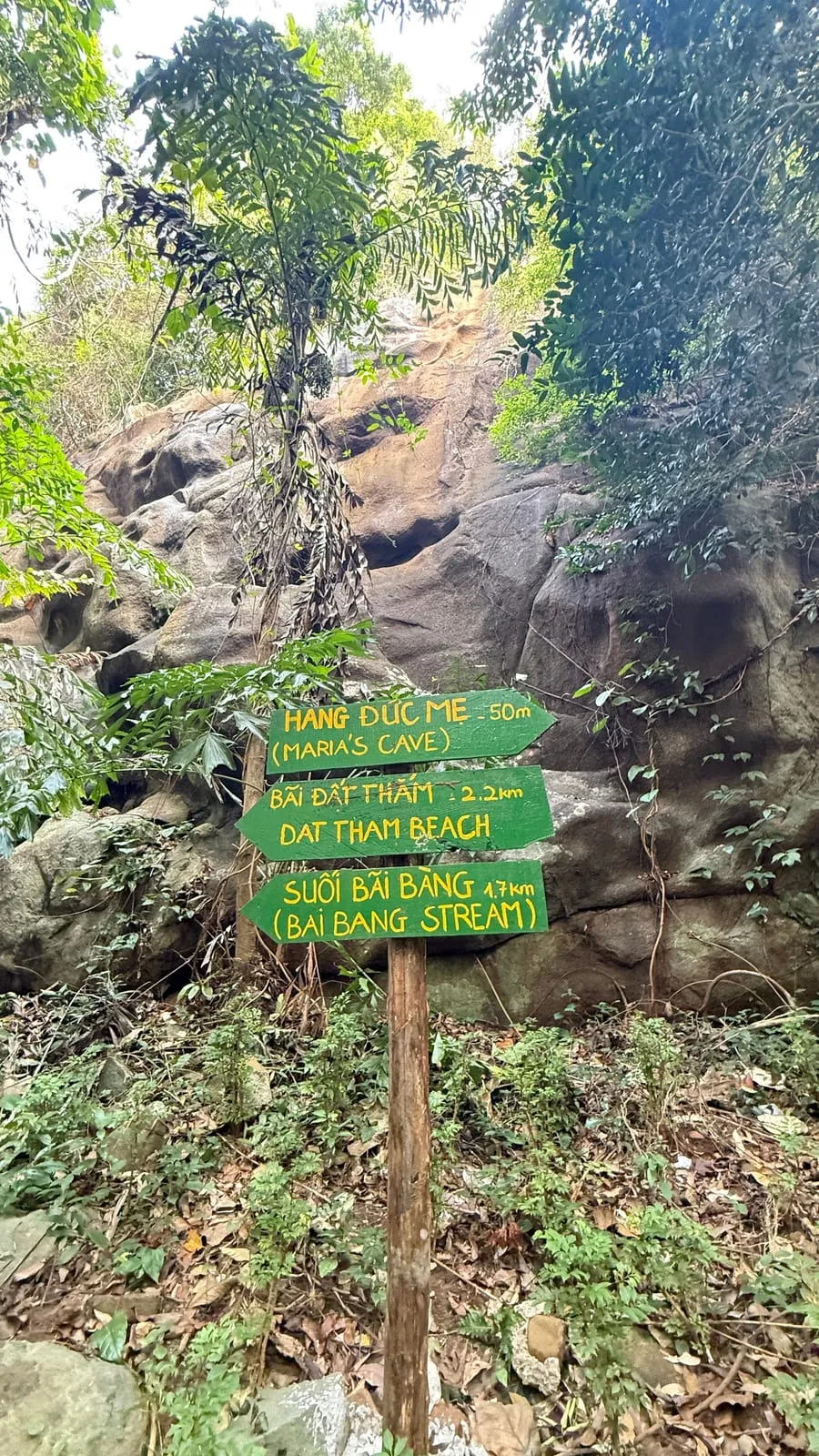 Photo: Hà Thành Nam, via Google Maps
Guided treks with the national park
The park runs guided hikes on its longer routes, from its ticket office at 36 Ton Duc Thang Street in Con Son town. Prices below were listed on the park’s website in October 2026 and depend on the size of the group; book by phone on +84 983 830 669, at the office, or through your hotel.
| Trek | Length | What it is | Price per person |
|---|---|---|---|
| So Ray (CDP 002) | Half day, 4–5 hours | A steep climb to an old French-era orchard on a hilltop with views over Con Son; black squirrels and macaques. Hard; not for older walkers or anyone with a heart condition. Maximum 15 people. | 550,000–1,130,000 dong |
| Heritage Tree (CDP 001) | Half day | A forest walk to the park’s heritage trees (cây di sản). | 550,000–1,130,000 dong |
| Bai Bang – Dat Tham (CDP 004) | Full day | The two beaches above, with a guide. | 670,000–1,130,000 dong |
| Dam Tre Bay (CDP 005) | Full day, 6–8 hours | A forest hike to the bay at the north of Con Son, then a boat trip on the bay and a rowing boat through the mangroves. A park guide is required. | 720,000–1,250,000 dong |
| Nui Chua (CDP 010) | Full day | A full-day mountain hike. | 1,050,000–1,750,000 dong |
The prices include the park entry fee; tips for the guide are extra. The park does not currently list a hike up Thanh Gia, the highest peak in the archipelago.
The Lo Voi ridge viewpoint
The most photographed hike on Con Dao is the ridge of Nui Lo Voi, off the Co Ong road towards the airport: a stepped path that climbs in 20–40 minutes to bare rocks with a sweeping view over Dat Doc bay and the coast. It is steep in places and there is no shade at the top. Go in the morning; if you stay for the sunset, bring a torch for the way down.
Be aware: in 2025 and 2026 visitors reported a sign at the trailhead marking the path as under construction and a restricted area, and the trail does not appear among the national park’s tours. Many people walk it anyway, but check locally whether it is open, and respect the sign if it is still there.
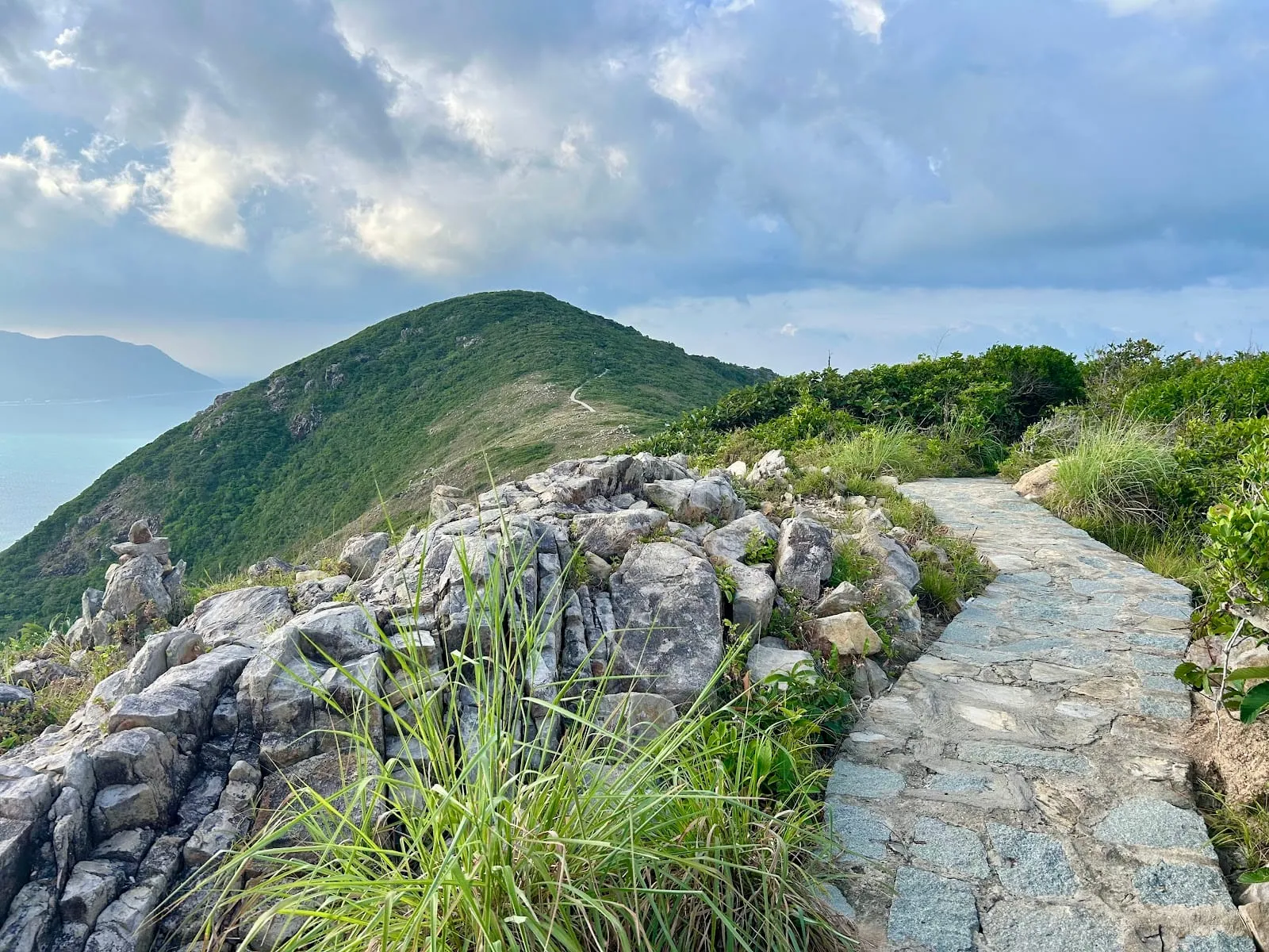 Photo: Masafumi Saito, via Google Maps
Bay Canh island and its lighthouse
On Hon Bay Canh, the large island east of Con Son and the main turtle nesting island, a forest trail climbs to the Bay Canh lighthouse, built by the French in 1883 and still working, about 2½ hours’ walk. Visits to Bay Canh are arranged through the national park, usually as part of a turtle tour or a boat trip.
Getting there
See how to get to Con Dao, and our Con Dao travel guide for where to stay and eat. Most trailheads are within a few kilometres of Con Son town; rent a motorbike, or take a Grab or taxi and arrange a pick-up.
Trek prices: Con Dao National Park website, October 2026. Ticket price and trail conditions: visitor reviews on Google Maps, 2025–2026.
Map
Loads Google Maps when you tap. Or open in Google Maps.